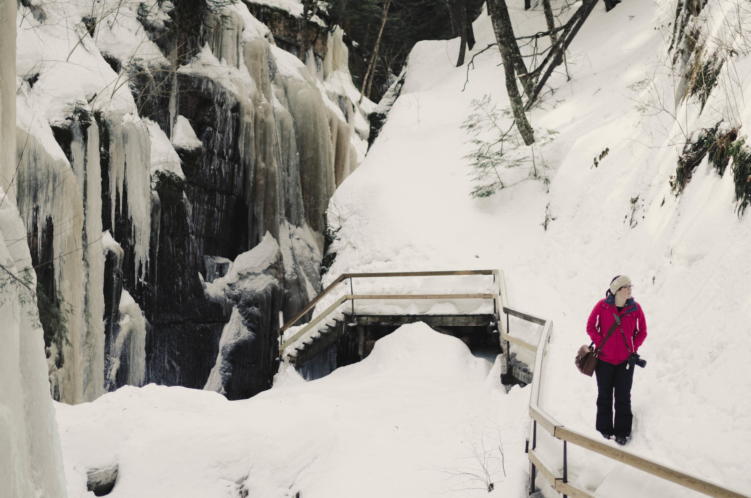
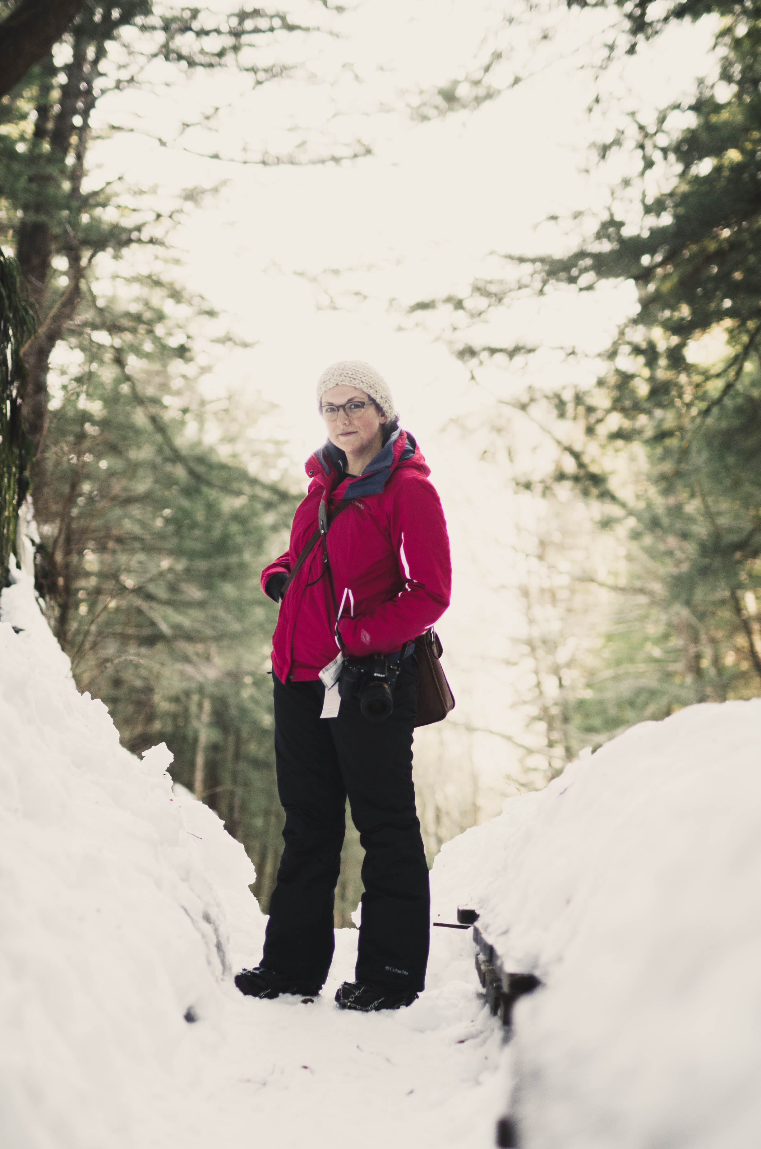
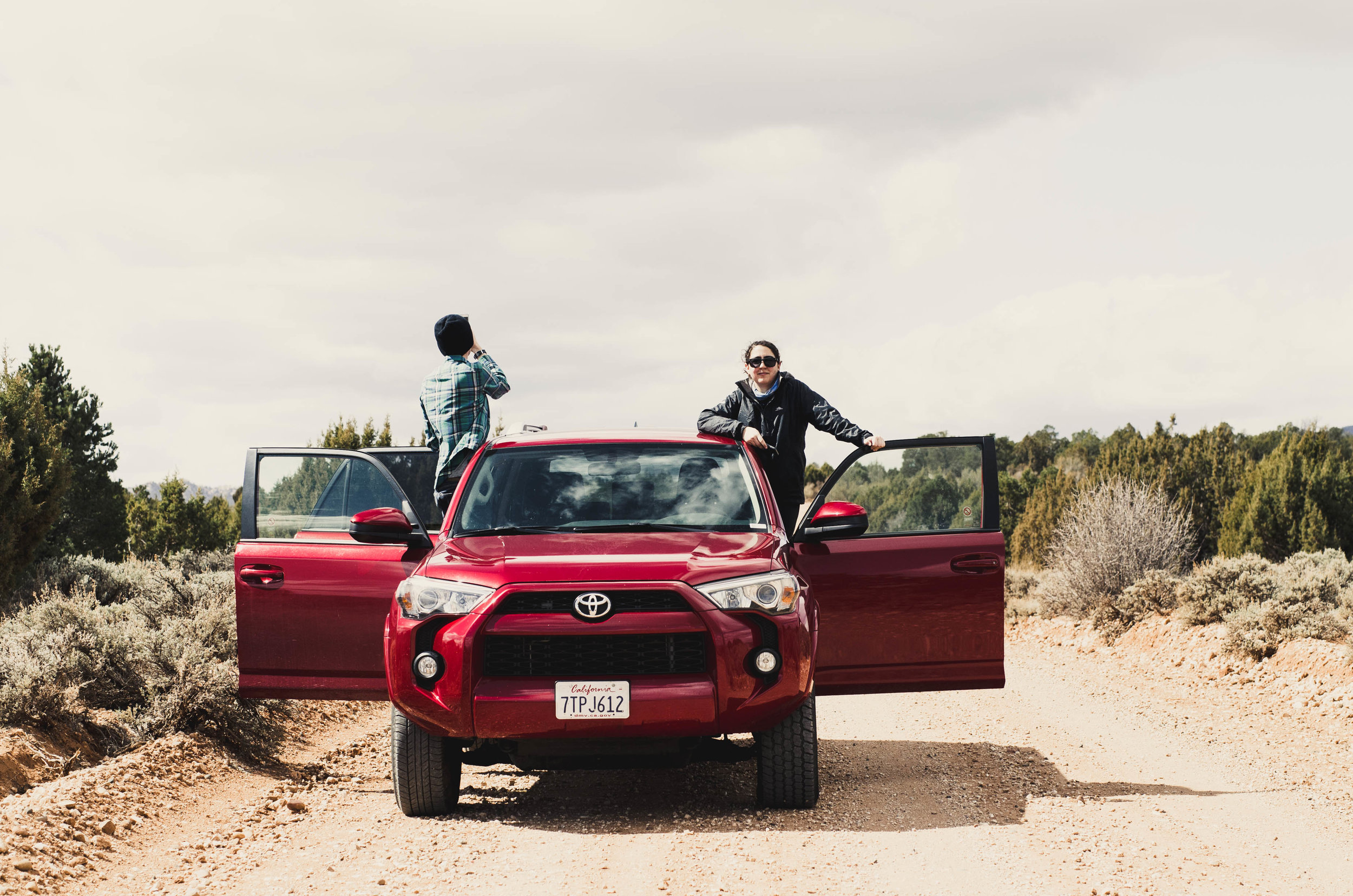
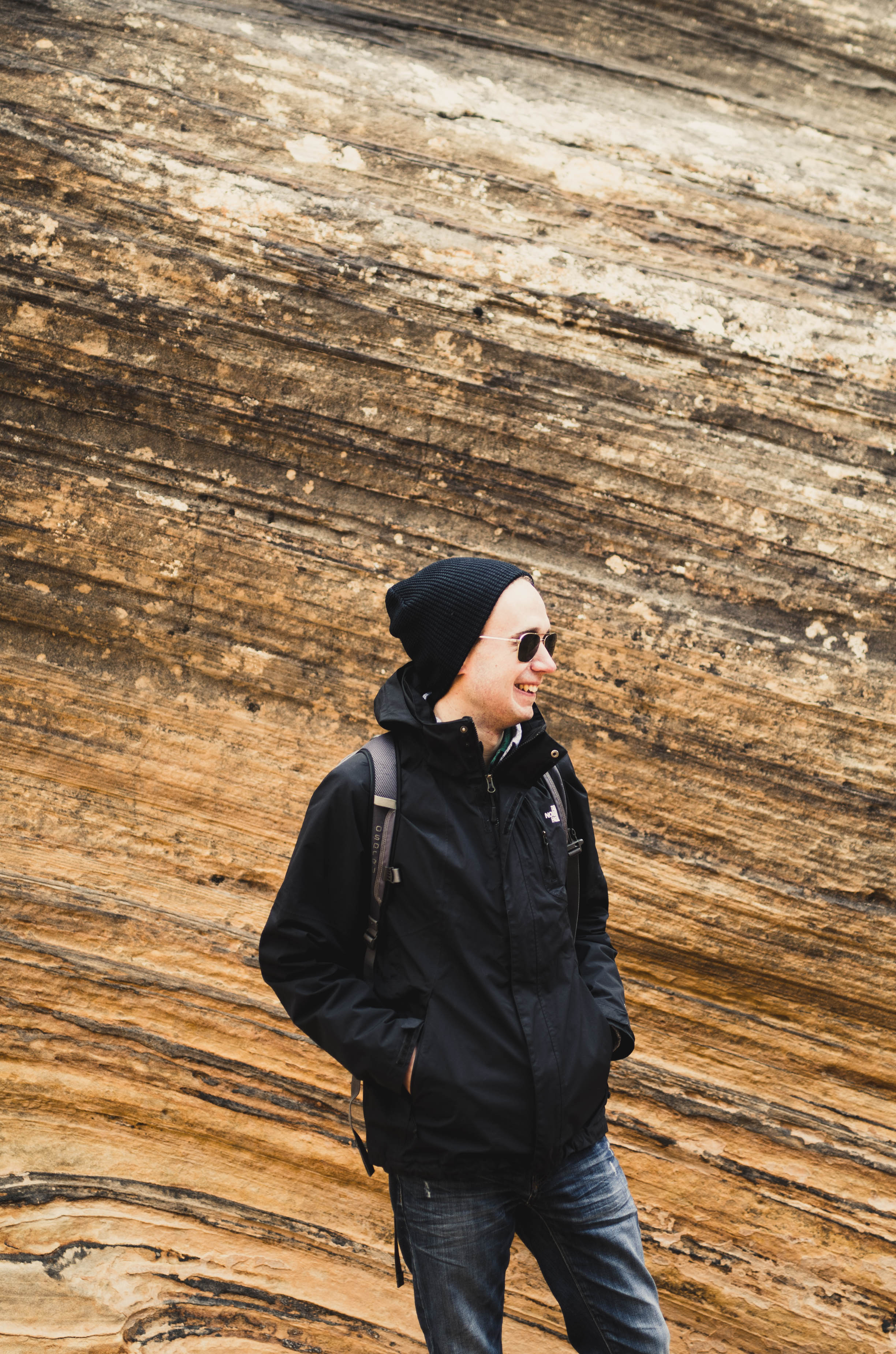
If you're from New England like me and haven't been out west, or southwest, I don't know how to convey to you how big it is, how much earth exists outside our cities. New York seems small and Boston seems even smaller, comparatively. But I'll try: It took four hours to drive from the airport to our little cabin in Utah and we did not need to consult a map on the way back because we only had to make three turns. The population of our temporary home was 100 and something. On our last night, we exhausted every restaurant option within a reasonable proximity to Bryce Canyon, all were closed (s/o to good ole' Subway for being the exception). There is never even one object obstructing your view of the sky. There's so. Much. Sky.
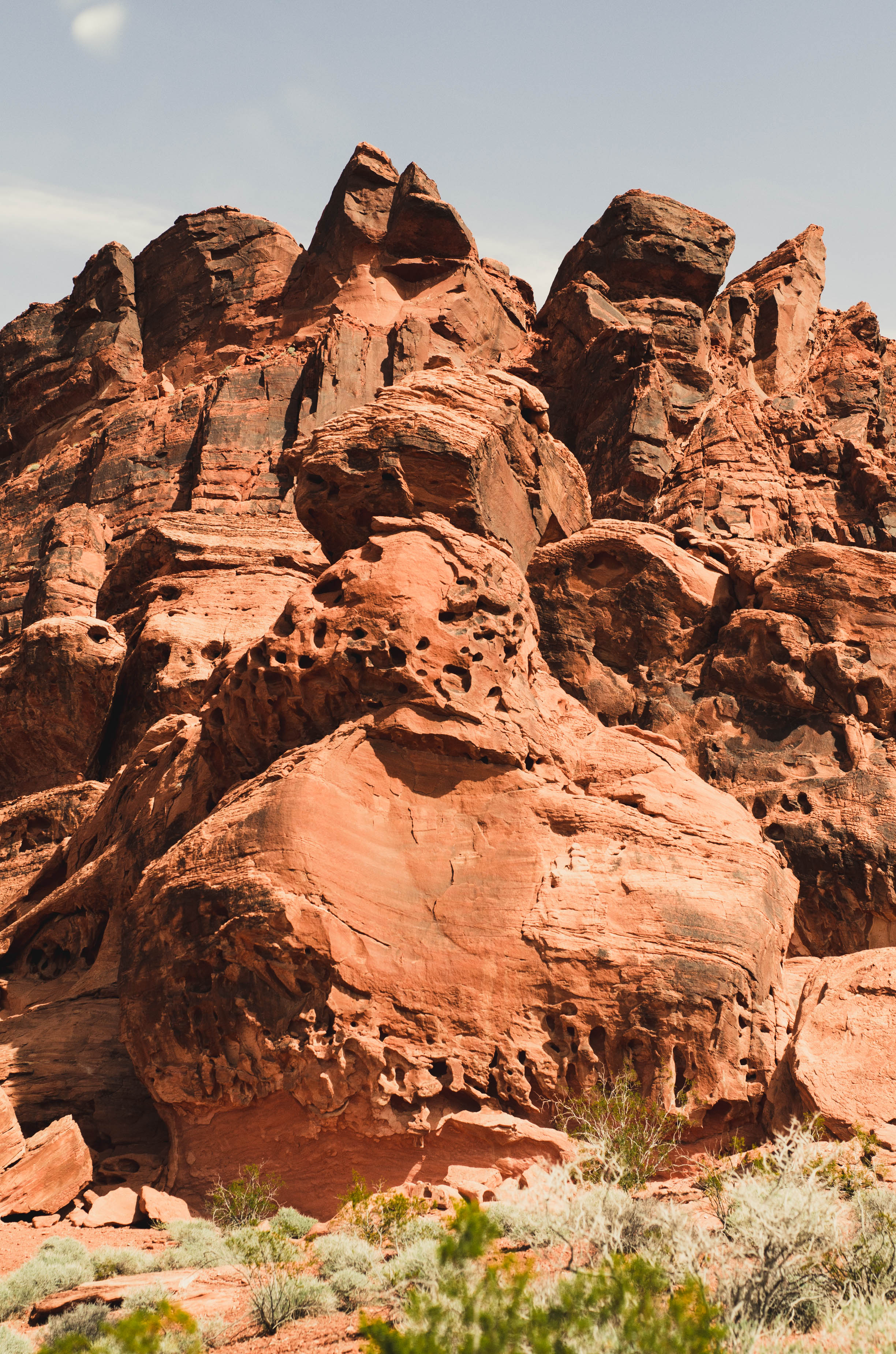
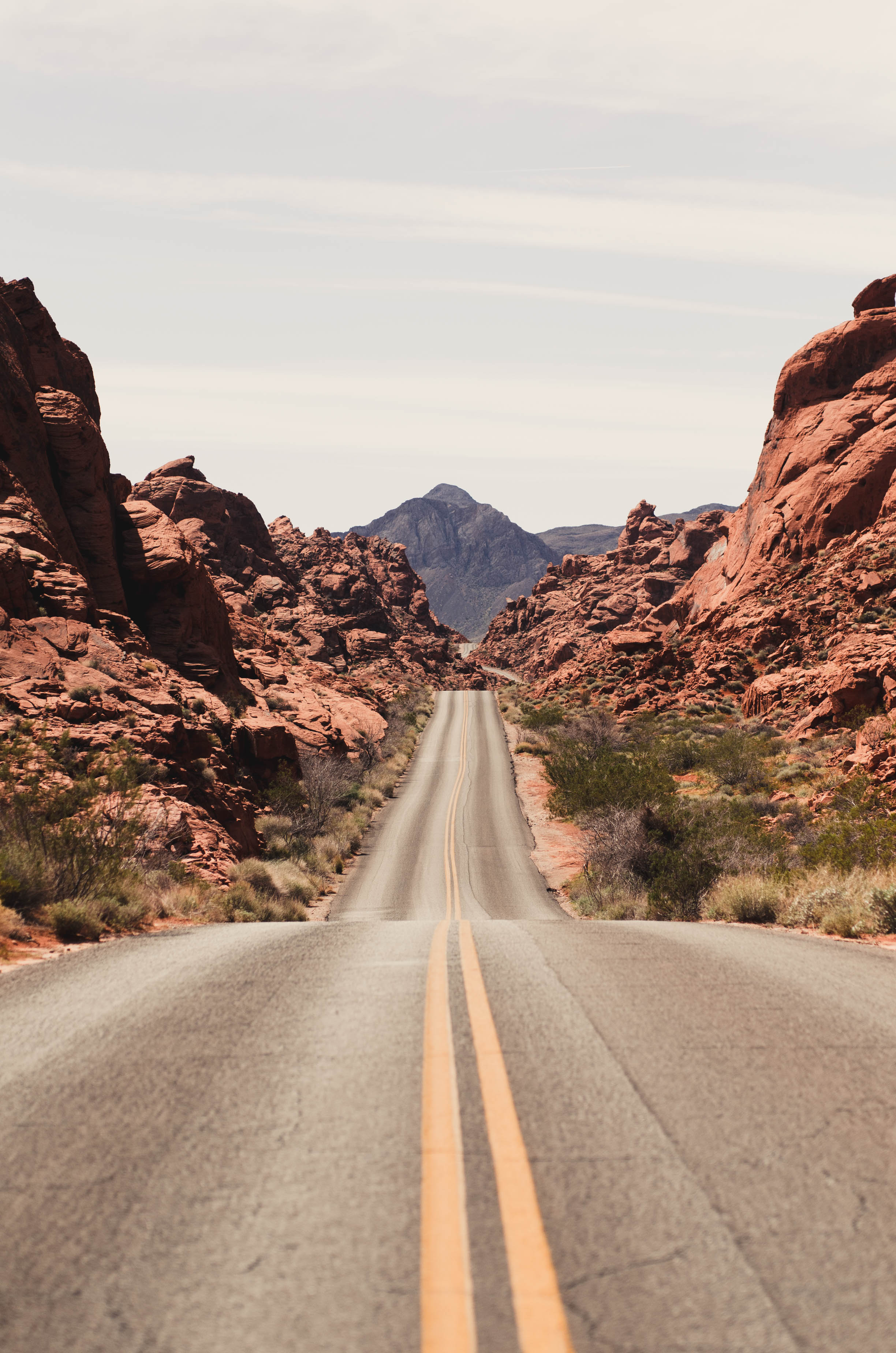
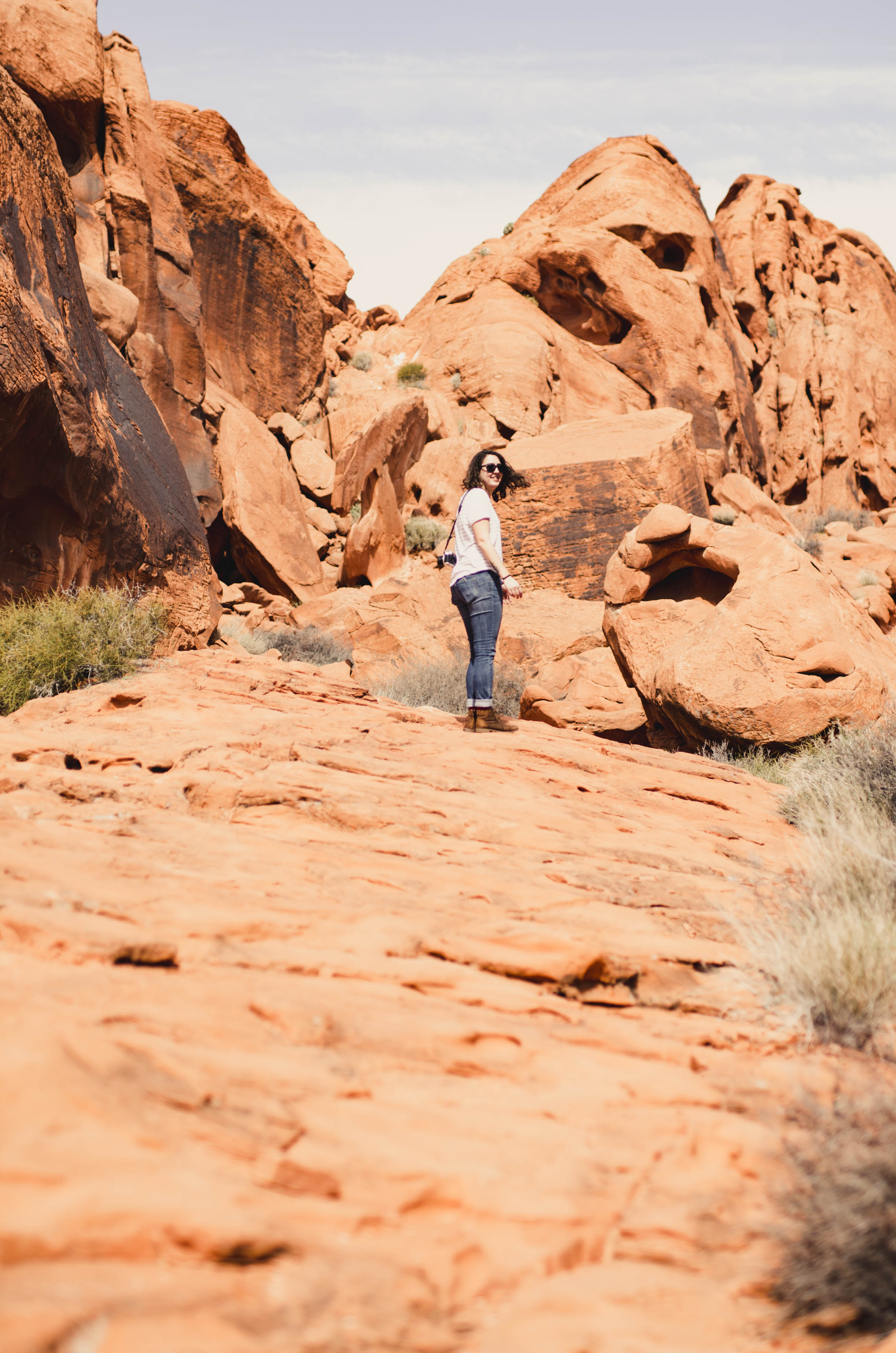
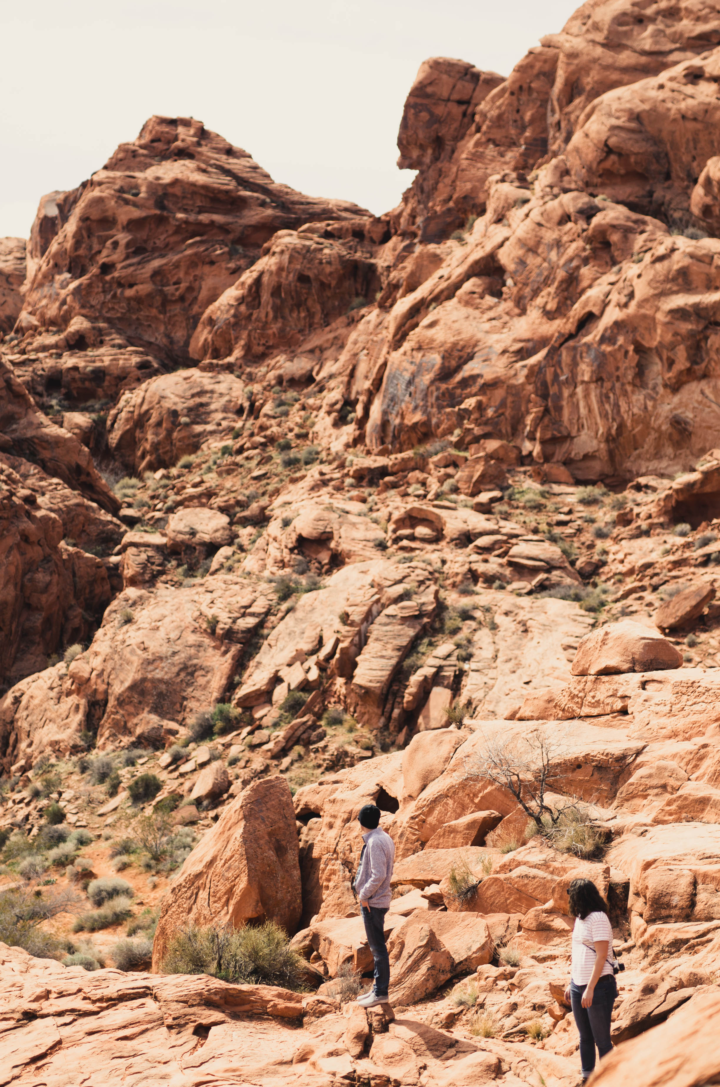
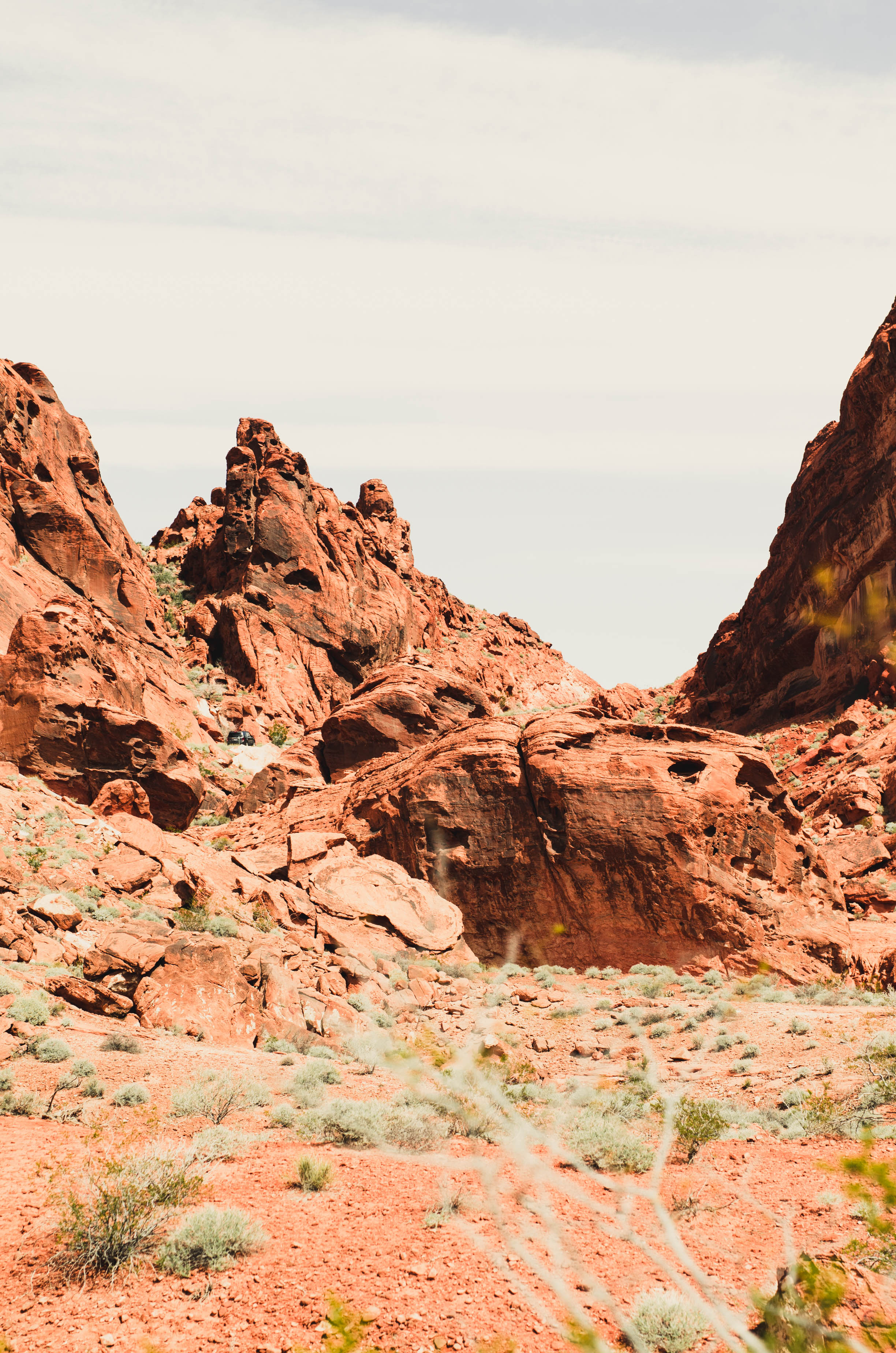
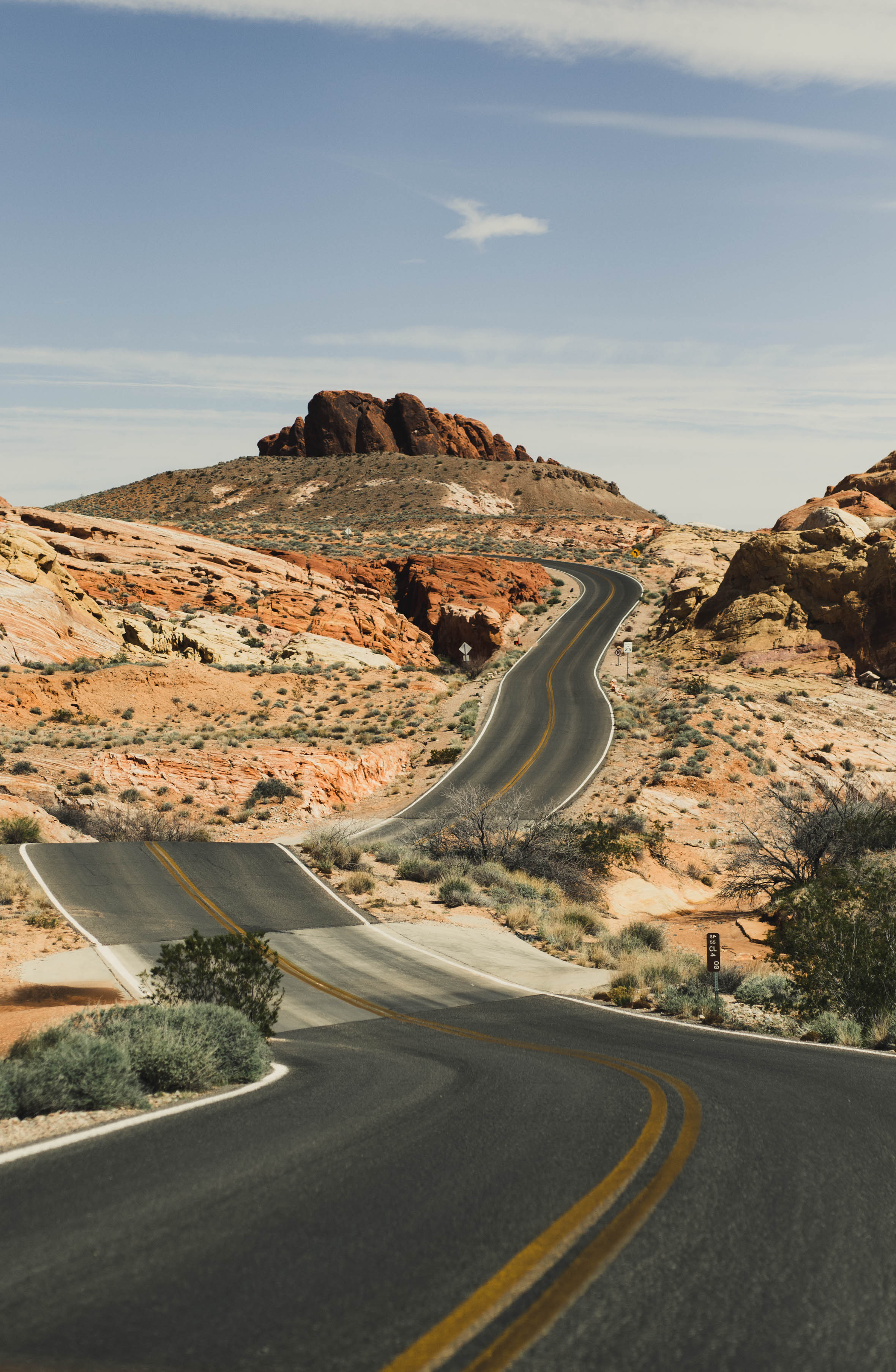
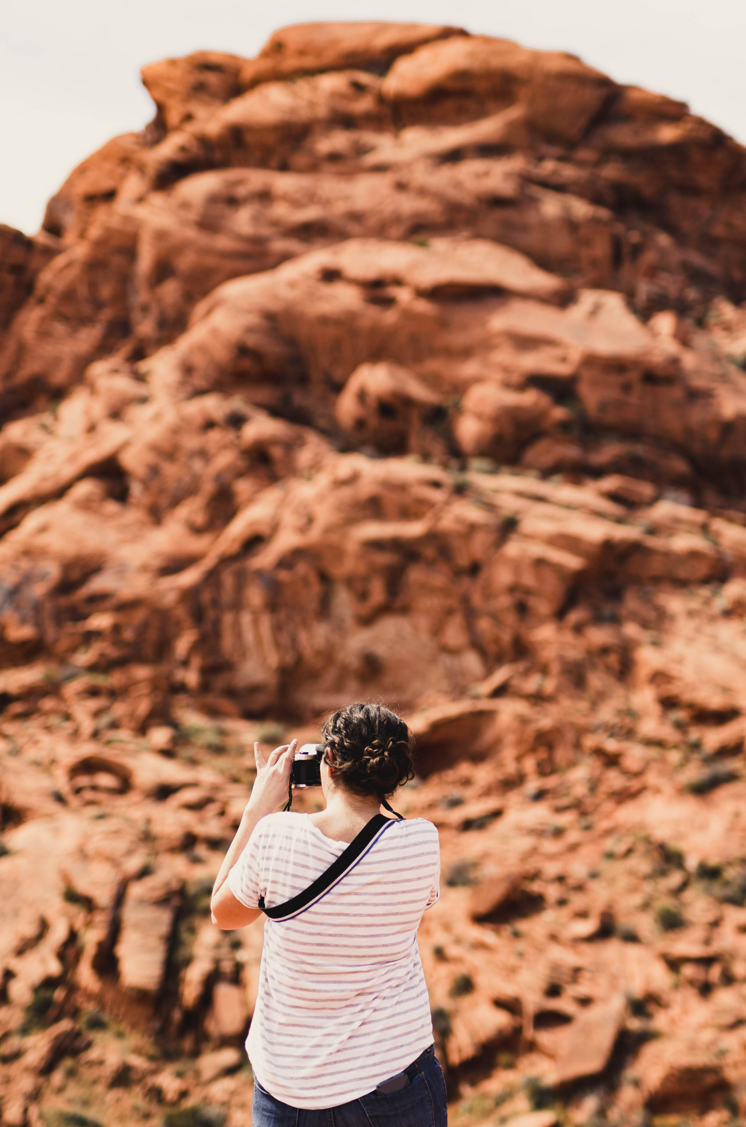
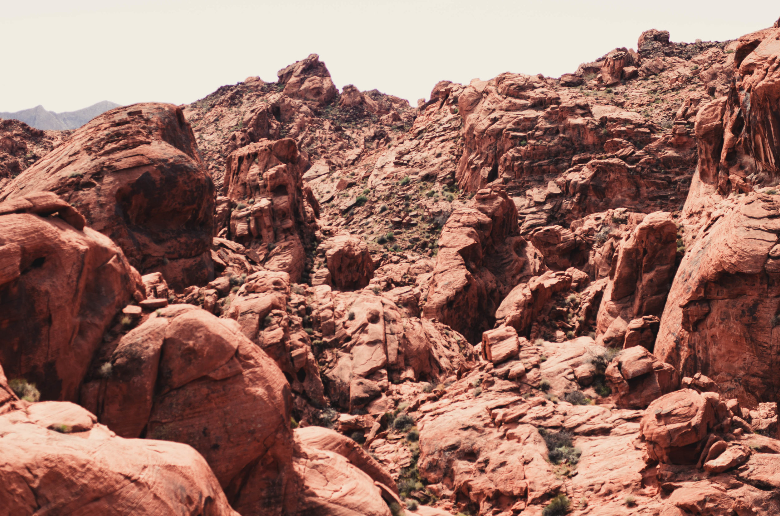
How do I convey how big it is? Valley of Fire State Park is only an hour and fifteen minutes from Las Vegas and you can still easily get shots of the road without vehicles in them. There's trails, sure, but an eighth of a mile in we abandoned them to scramble up boulders on the side. I don't have any idea how far we could have gone. Until death.
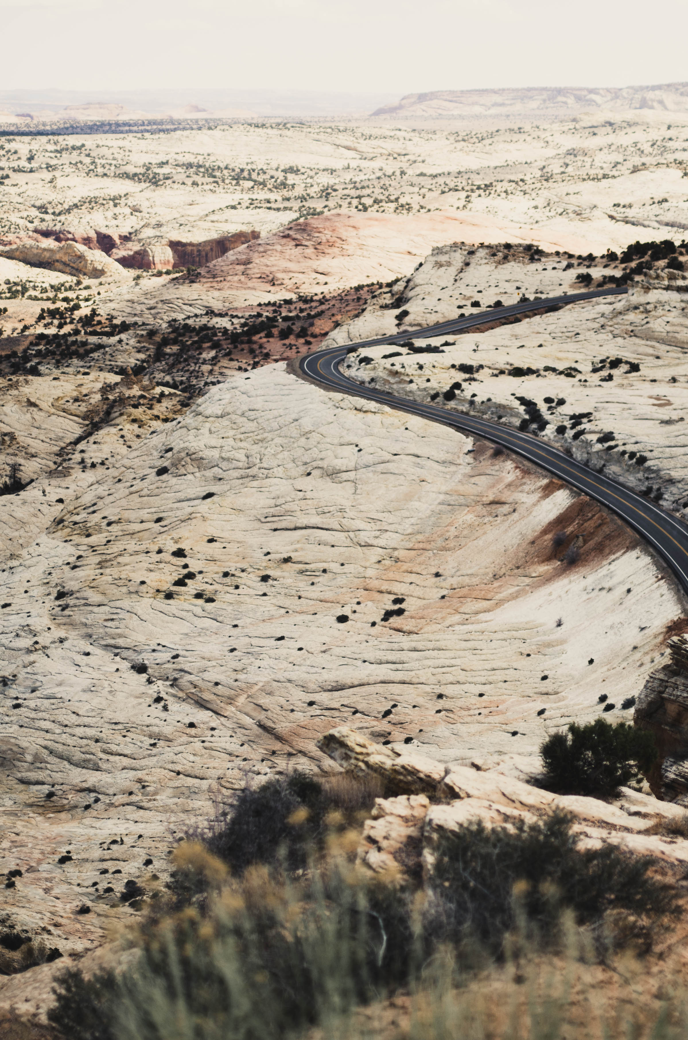
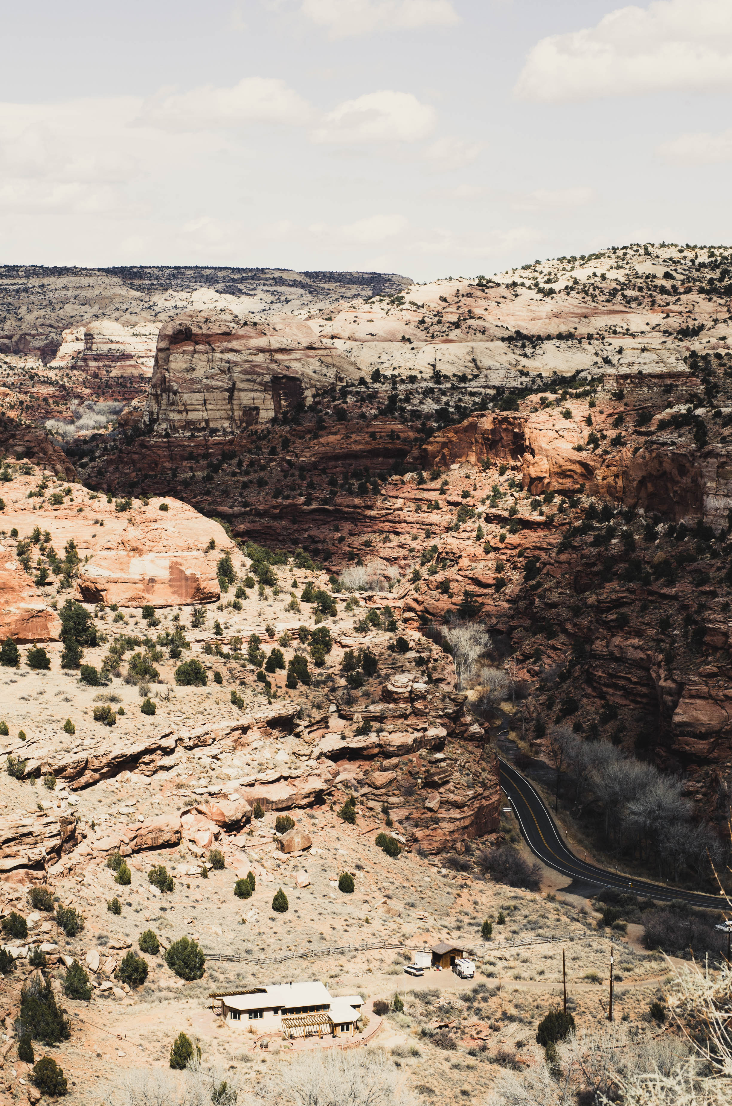
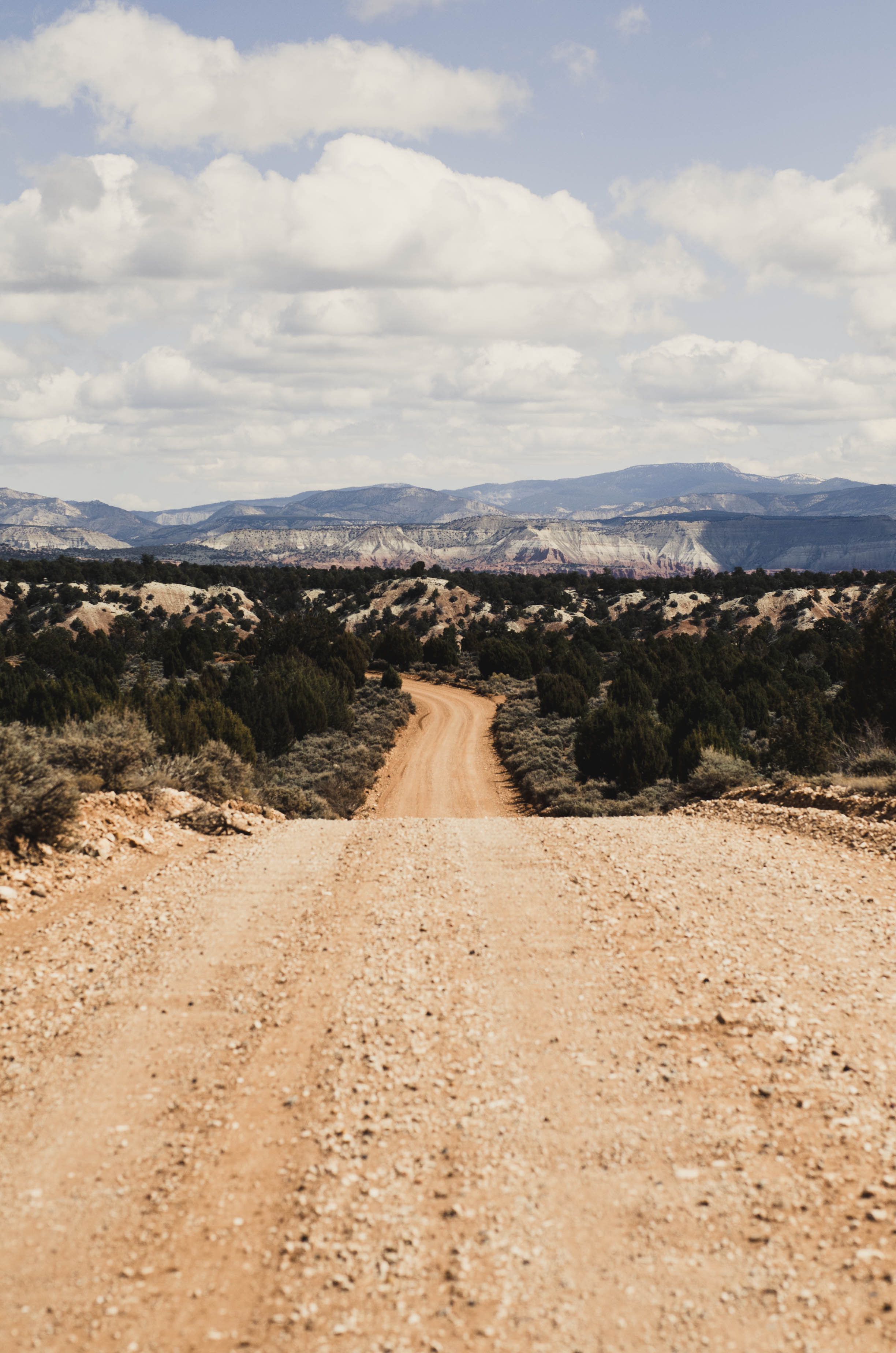
It's big. Route 12 through Grand Staircase Escalante is 124 miles. We drove all of it, but those 124 miles were just 10% of what we put on the rental car in those four days. The BLM road we drove down was 4.5 miles long, but another one went all the way to Arizona. The Dixie National Forest is 2 million acres. I grew up in a house that sat on just two. At it's highest point it's over 11,000 feet. I couldn't breathe.
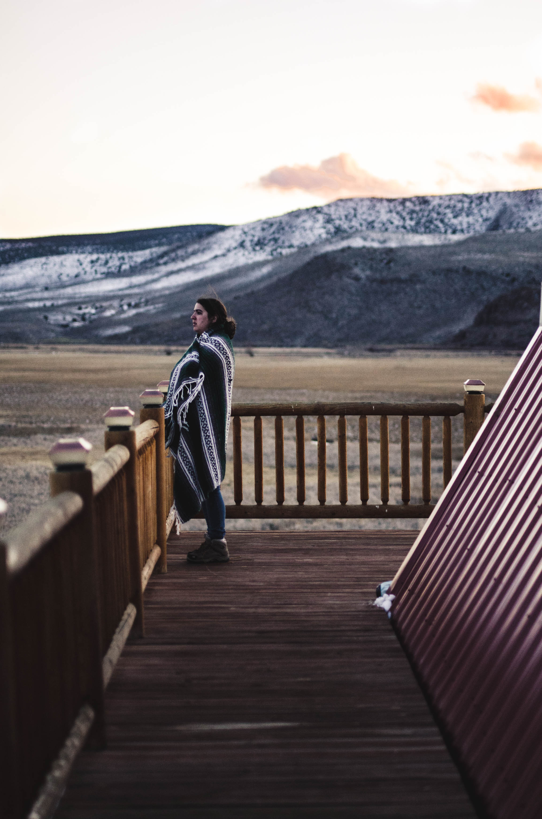
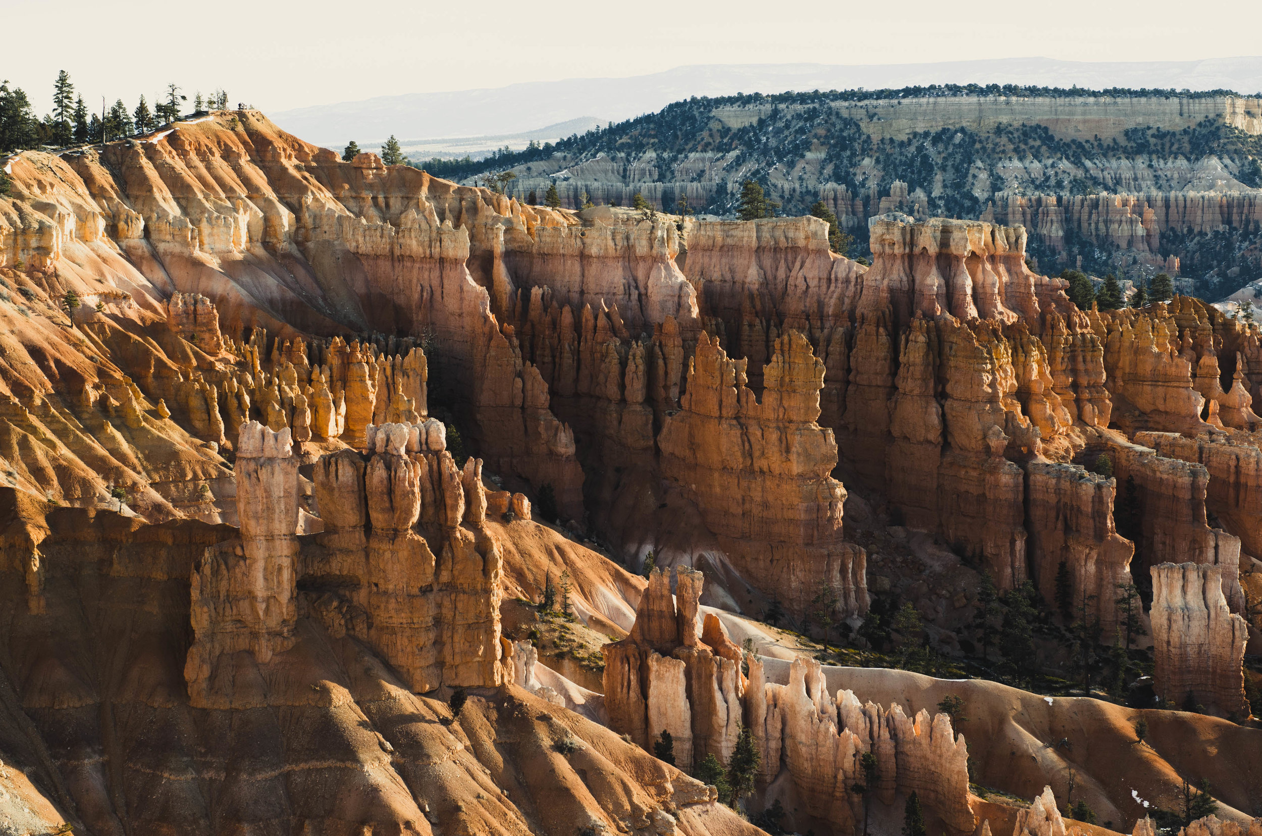
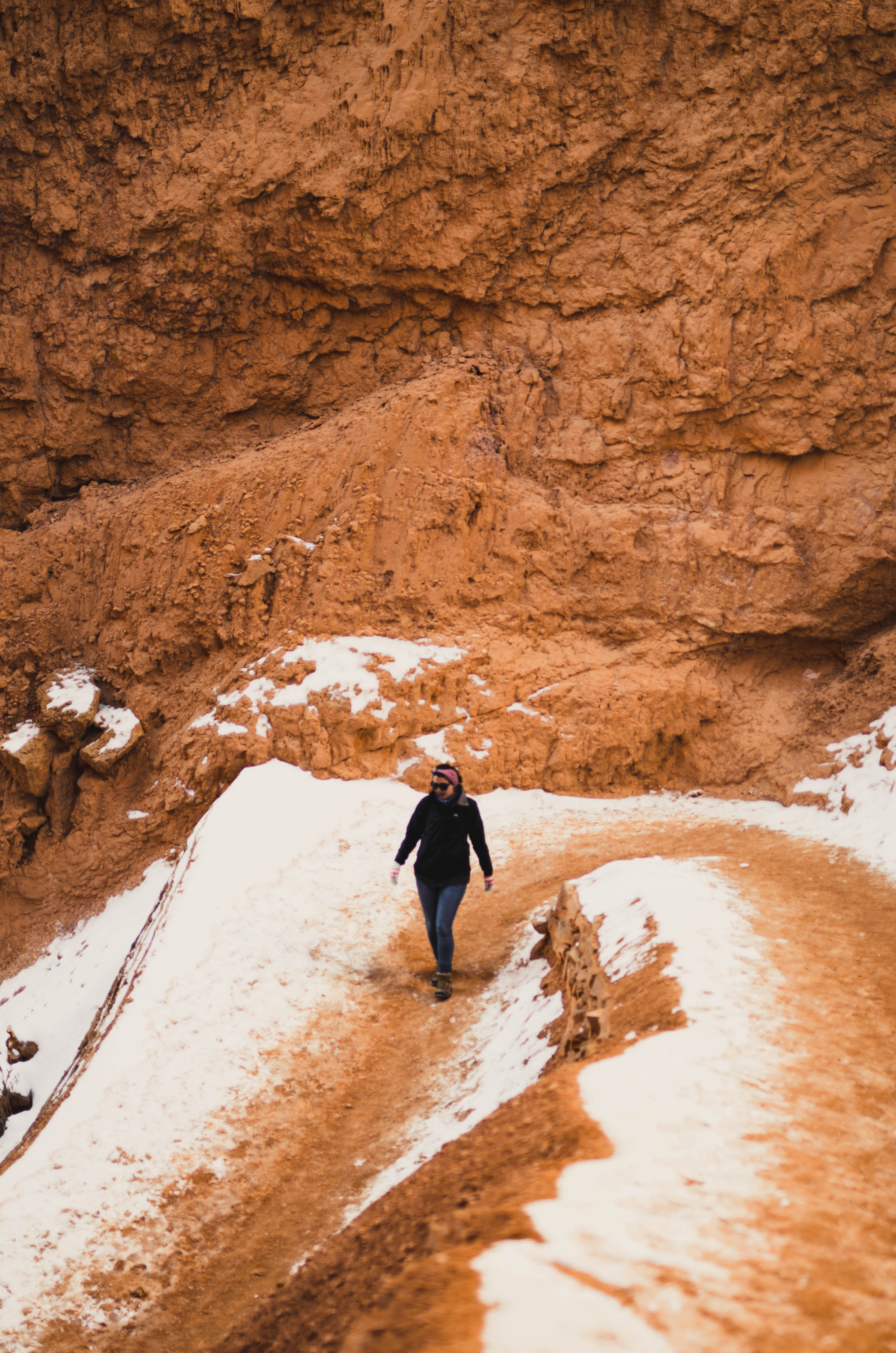
It's high. It's high and I am not used to elevation. Boston's elevation is 141 feet. We descended 1500 on our hike in Bryce Canyon, my heart felt it on the ascent.
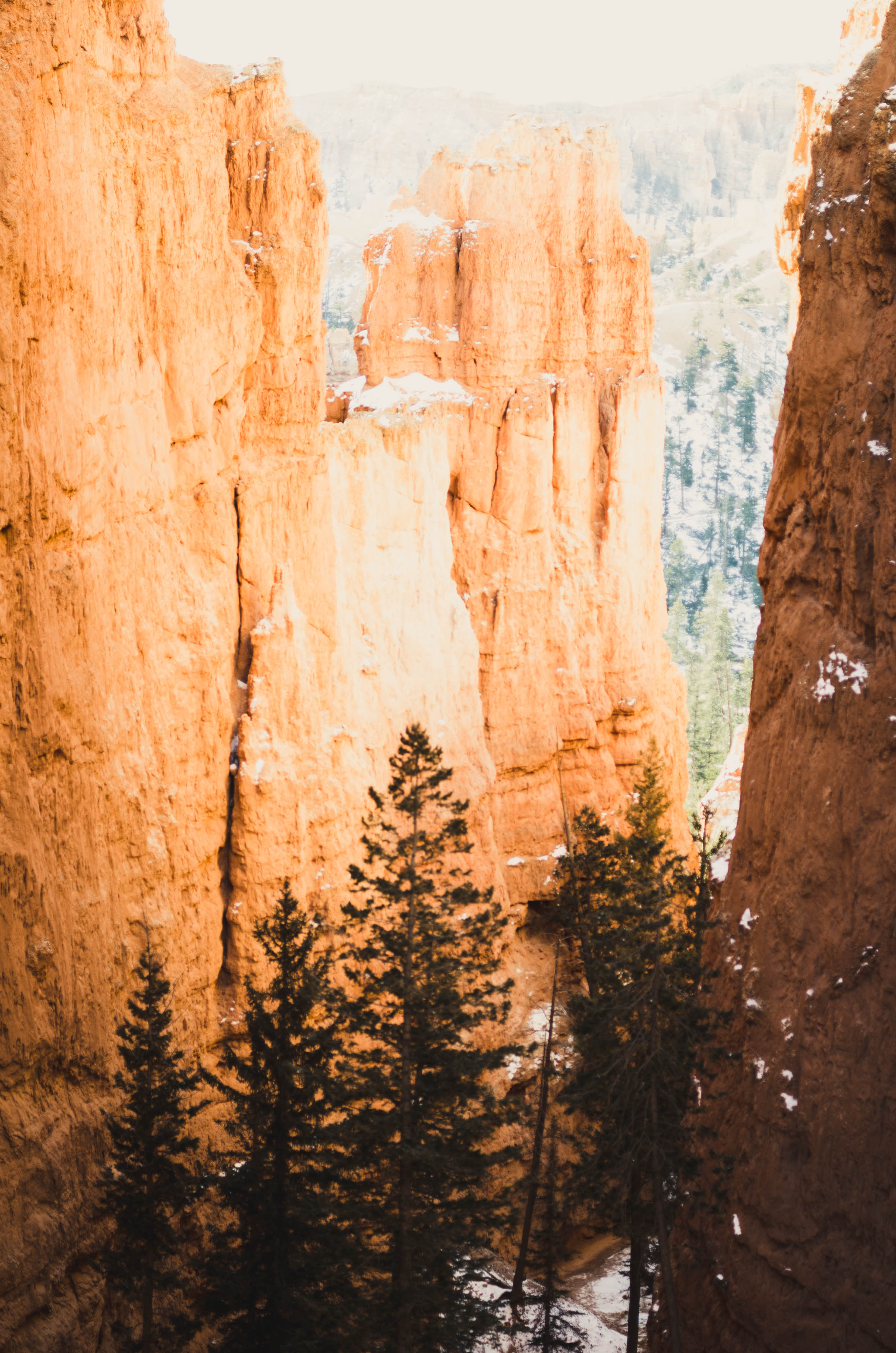
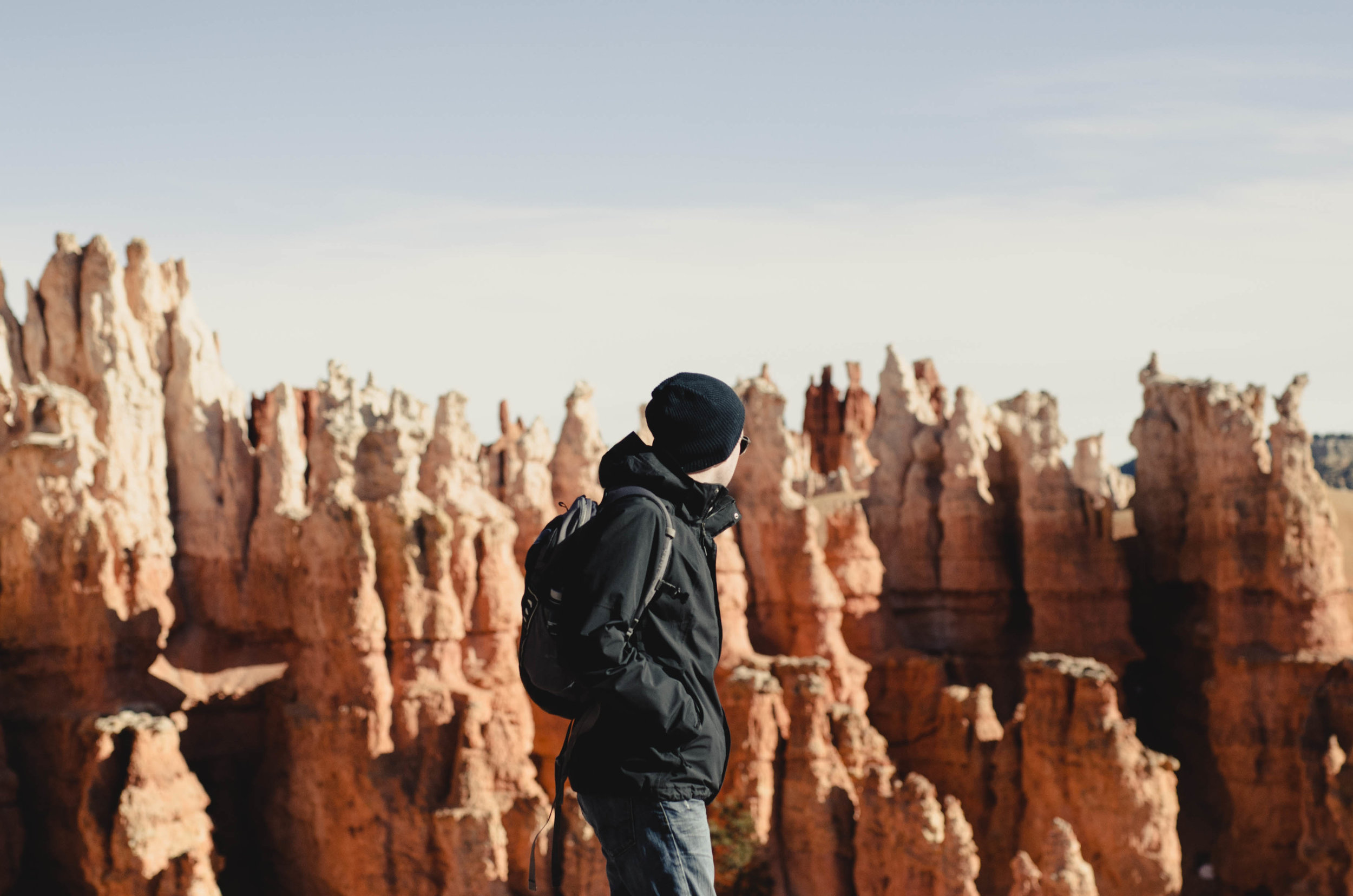
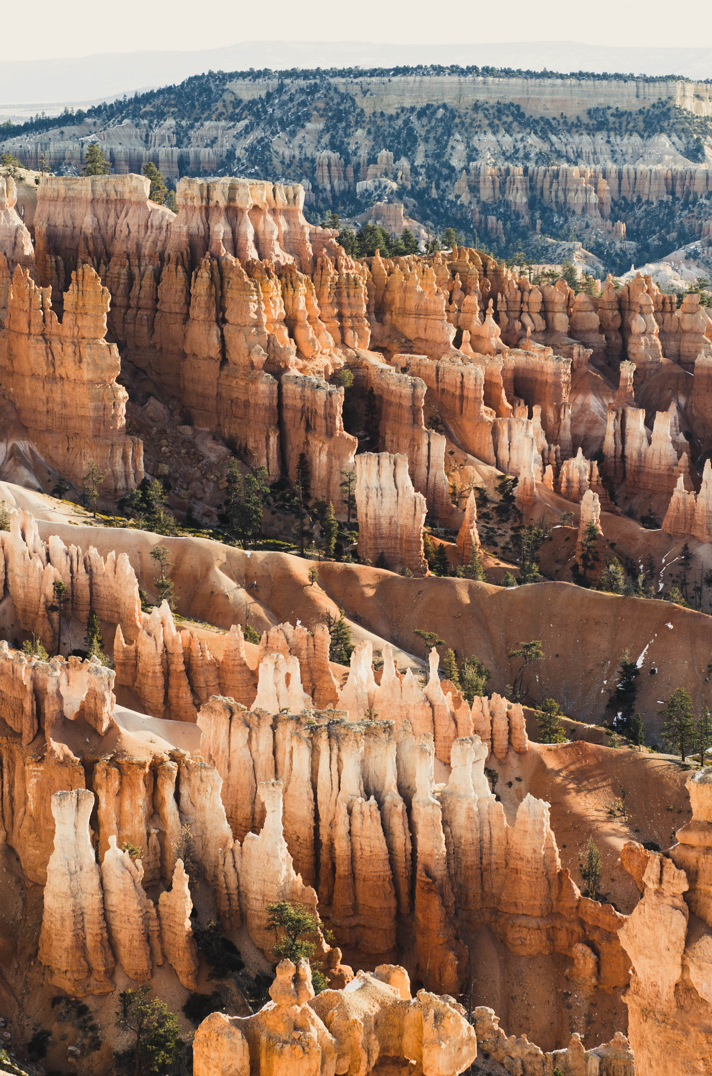
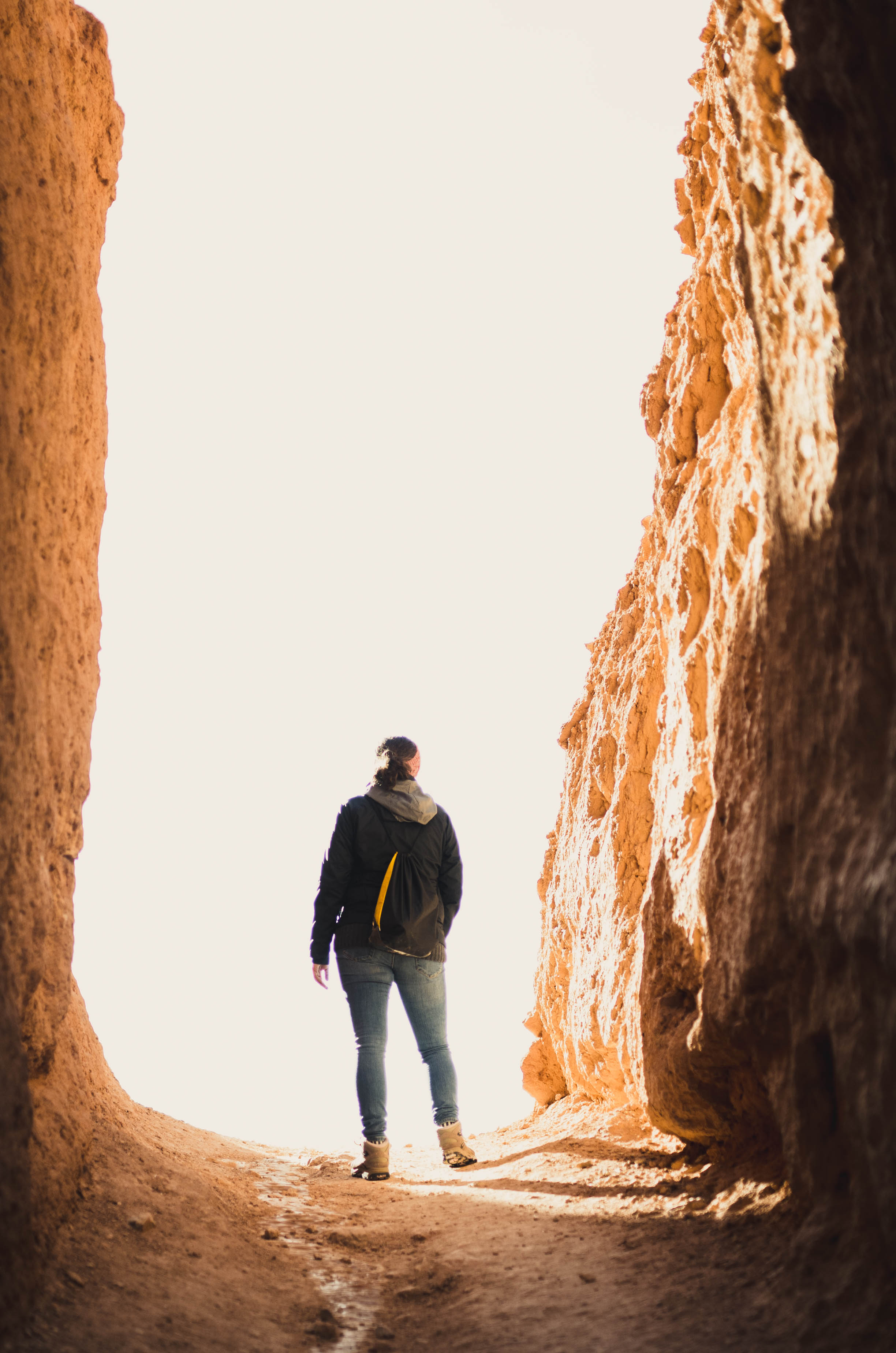
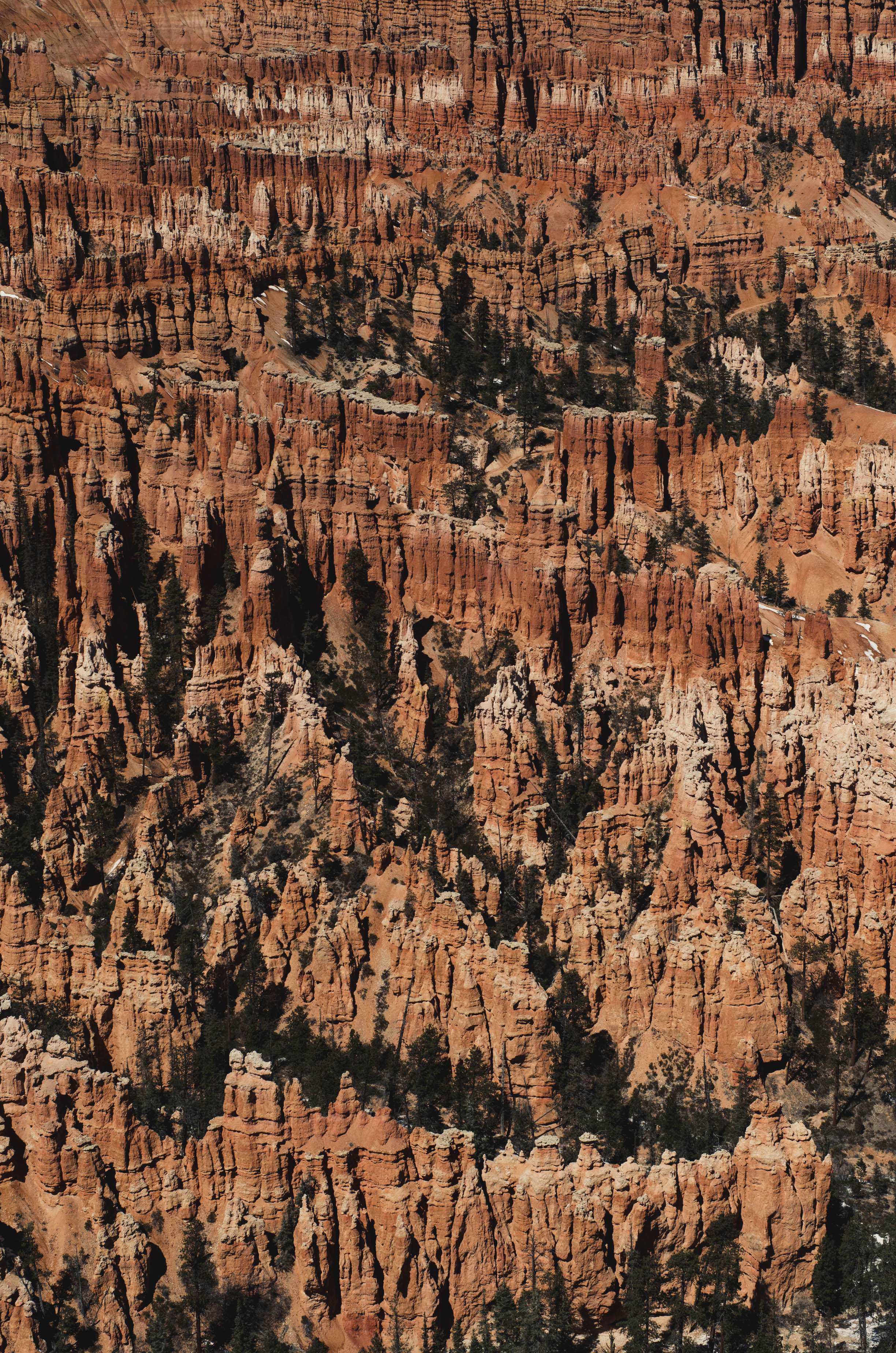
I took a thousand photos in Bryce. I tried, over and over again, to capture how big it was. I knew it was impossible. And it is. After we hiked in Bryce, we drove to every scenic vista there was. At Bryce Point I stopped trying. I snapped a few, but it is impossible to convey how big it is. So I'll stop there. It's nice, when you think about it, to have a view to your mind only. Sometimes places are worthy of seeing but it's only a disservice to attempt to convey why. I guess that's Utah.
The Places I Went:
Valley Of Fire State Park
-Mouse's Tank Road
-Mouse's Tank Trail
Grand Staircase Escalante National Monument
-Scenic Route 12
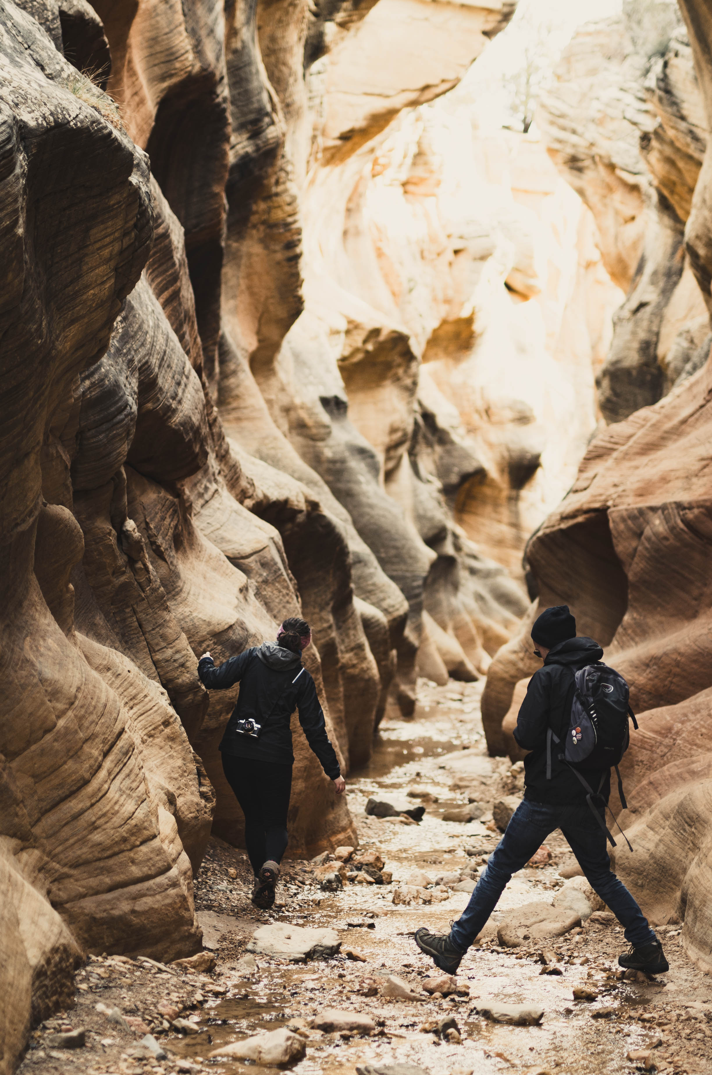
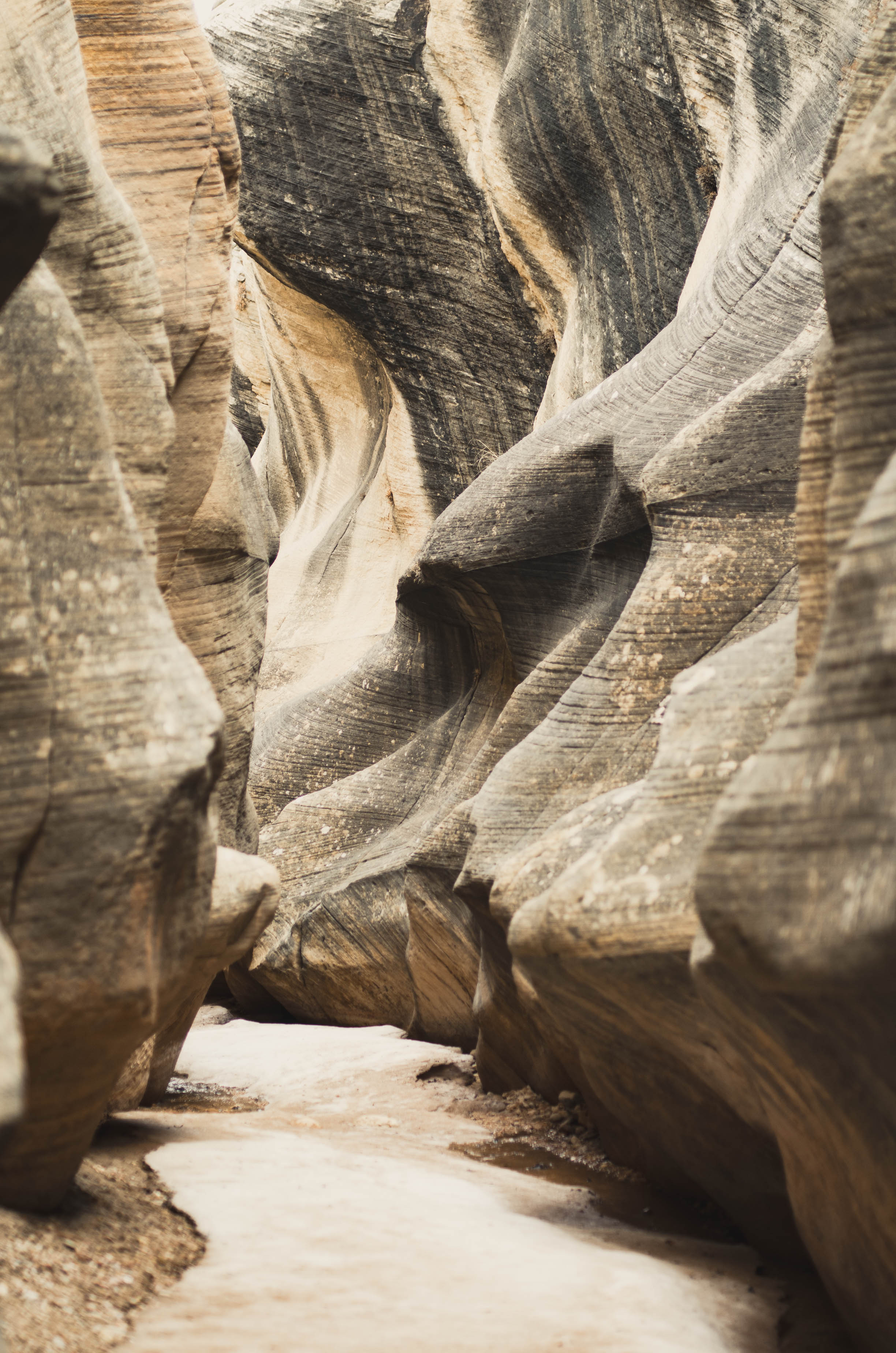
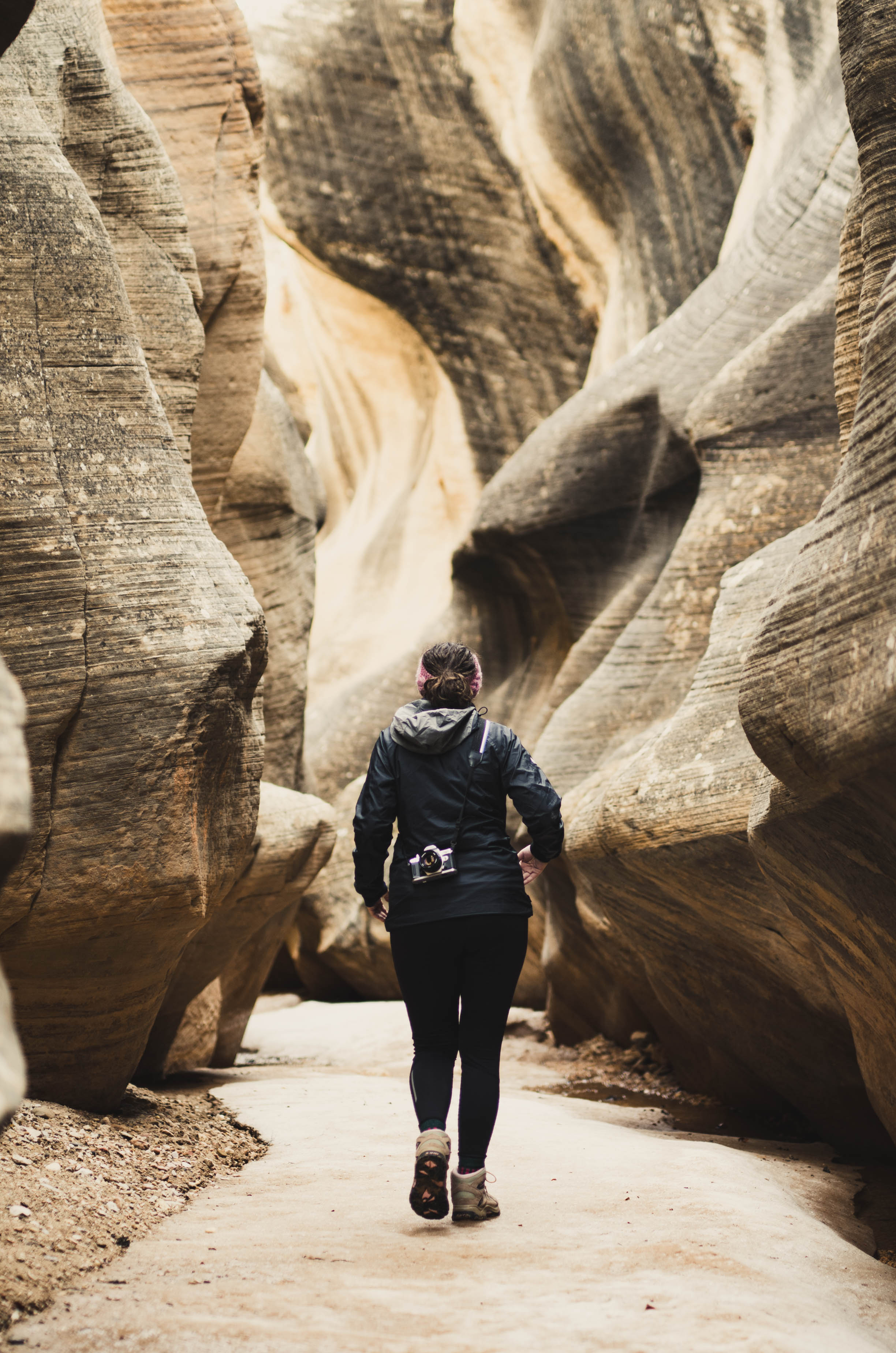
-Willis Creek Narrows
-Lower Calf Creek Falls
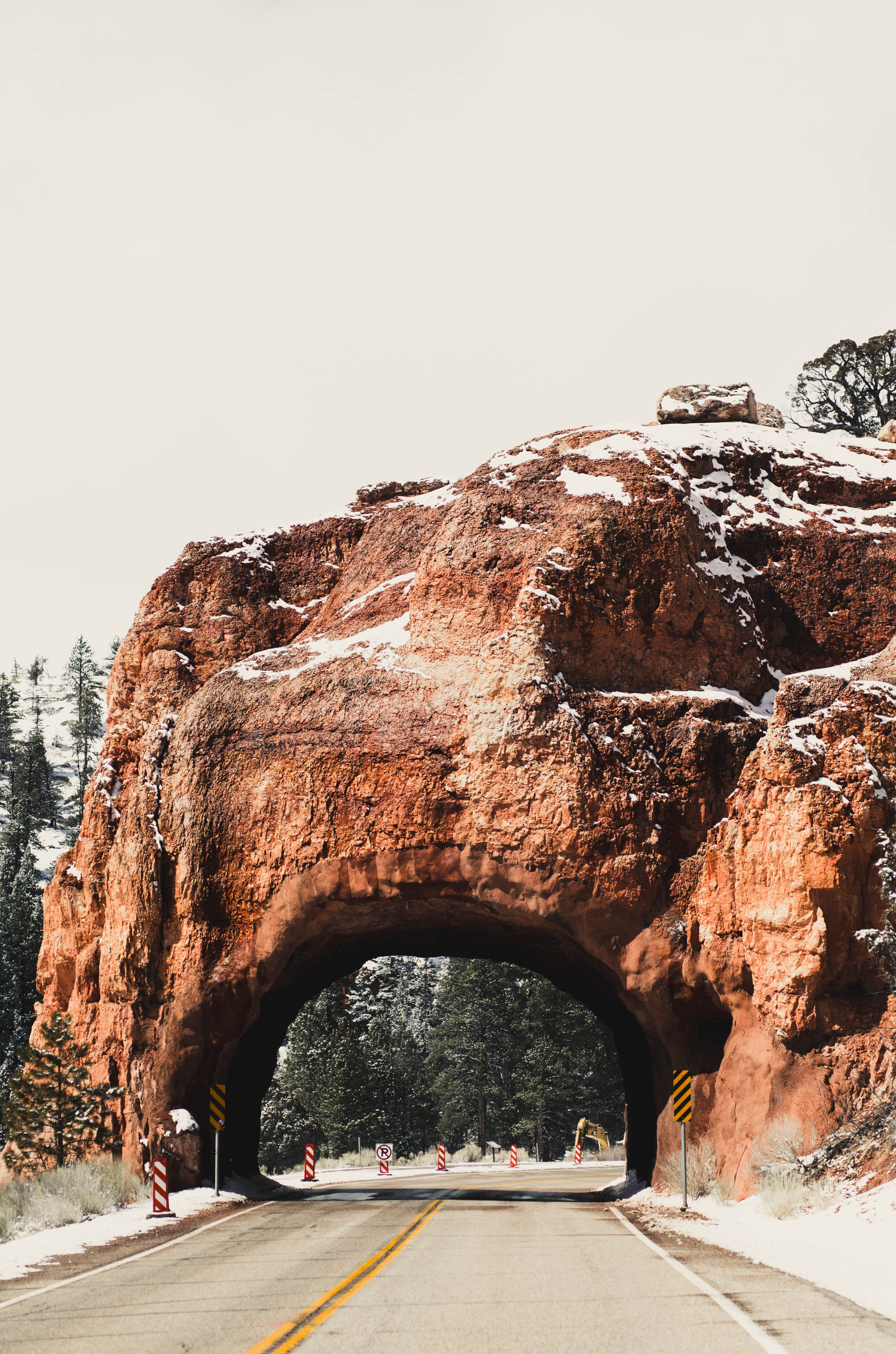
Dixie National Forest
-Red Canyon - Birdseye Trail
Bryce Canyon National Park
-Figure 8 Loop: Navajo Loop and Queen's Garden Trail
-Bryce Point
-Under The Rim Trail
-Rainbow Point
-Natural Bridge